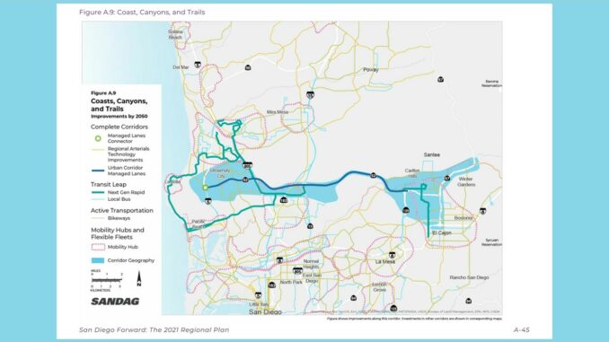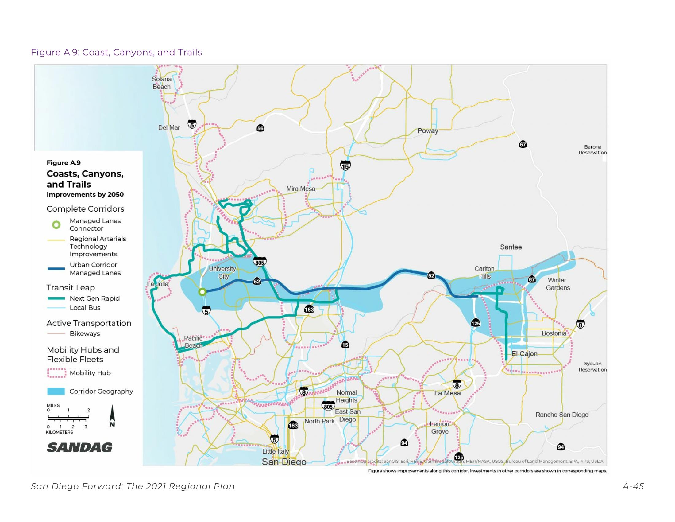
The SANDAG Board of Directors adopted the 2021 Regional Plan on December 10, 2021. In University City, SR 52 is included in SANDAG’s Coast, Canyons, and Trails Corridor. According to the Regional Plan, travel along this corridor will be increasingly multimodal as Urban Corridor Managed Lanes (such as carpool, bus, express, and/or toll) and a Managed Lane Connector (at SR 52 and I-5) are put into service.
SANDAG indicates that mobility hubs in Santee, Kearny Mesa, and La Jolla will help provide travelers with first- and last-mile connections to transit services and offer additional travel options for local trips.
According to a note included in the adopted 2021 Regional Plan (at the bottom of page A-44): the Coast, Canyons, and Trails Comprehensive Multimodal Corridor Plan is completing a more detailed analysis of SR 52 between I-5 and I-805 and the connections at SR 52 and I-5. Improvements for this segment are envisioned to be within the existing corridor footprint where the MLs (Managed Lanes) would be designed through repurposing the existing shoulders and landscaped median.
Details of the 2021 update related to SR 52 are included in Appendix A – Transportation Projects, Programs, and Phasing. Search on “SR 52” for all references. Proposed changes to SR 52 through Marian Bear Memorial Park are included in Appendix A, Table A.8, Coast, Canyons, and Trails. Projects in Table A.8 are organized by project type (Active Transportation, Complete Corridor: ATDM/SIS, Complete Corridor: ML, Complete Corridor: Connectors [MLC], and Transit Leap) and by phasing period (2025, 2035, and 2050) within those project types.
- The SANDAG 2021 Regional Plan is available at https://sdforward.com/mobility-planning/2021-regional-plan
- The SANDAG Coast, Canyons, and Trails Corridor excerpt is available at SANDAG 2021 Regional Plan – Coast, Canyons, and Trails Corridor – SR 52
For related posts, visit https://www.universitycitynews.org/category/transportation/


